
Statewide
Hunting Maps
Here you will find maps to help determine public vs. private land, wildlife management unit and controlled hunt boundaries, travel management areas, and ODFW wildlife areas.
Hunting Access Map
The Oregon Access Map is an interactive Google Map where you can scout areas for habitat and terrain. You can also search for areas by species, location, landownership, show property boundaries, find coordinates, and more! To learn more go to the Hunting Access Map article.
ODFW also produces a $5 statewide wildlife management unit boundary map that can be ordered online (if you have an ELS account) or is available for sale at ODFW Salem and Region offices. These boundaries can also be viewed for free on the Hunting Access Map.
Controlled Hunts Maps
Hunters who successfully draw a controlled hunt for which a map is provided, will be mailed a map prior to the hunt. These hunts are indicated by "[MAP]" in the hunt description; they are also available on the big game hunting area pages.
ODFW Wildlife Management Units Map
Access & Habitat Maps (GeoPDFs)
The Access and Habitat and Travel Management Area maps are now GeoPDFs. Using apps, such as the free one Avenza, you can use the GeoPDFs to follow your location, mark way points, check boundaries and more while offline.
- Alvord
- Bentz
- Carman Pasture
- Desolation Creek
- Divide Ridge
- Forsea Ranch
- Glass Hill
- Iron Mountain
- Jenkins/Otley
- Kueny
- Lawen Lane
- Mackenzie
- M.R. King Ranches
- New River
- Ontario
- Owsley Canyon
- Pine Creek
- Troy Ranches
- Virtue Flat
- Widman
Hancock Forest Management Access Program (pdfs)
- Catherine Creek WMU Map
- Starkey WMU Map
- Sumpter WMU Map
- Walla Walla WMU & Vicinity Map
- Wenaha WMU Map
Open Fields – Columbia Basin
Open Fields – Willamette Valley
Travel Management Area (TMA) and Other Special Managed Area Maps (GeoPDFs)
The Access and Habitat and Travel Management Area maps are now GeoPDFs. Using apps, such as the free one Avenza, you can use the GeoPDFs to follow your location, mark way points, check boundaries and more while offline.
Wildlife Area Maps (pdfs)
- Bridge Creek
- Columbia Basin
- Coquille Valley
- Denman
- EE Wilson
- EE Wilson: Baker Tract
- Elkhorn
- Fern Ridge
- Jewell Meadows
- Klamath
- Ladd Marsh
- Lower Deschutes
- Lower Deschutes Woosley Tract
- Phillip W. Schneider
- Riverside
- Rogers
- Sauvie Island
- Summer Lake
- Wenaha
- White River
Many new technologies, such as onXmaps, are available to hunters via private businesses that produce public land maps and private landowner name/boundary maps for your GPS, smartphone, or computer.
Additional resources for paper maps are available at:
- U.S. Bureau of Land Management Land Maps 503-986-3154
- U.S. Forest Service
- Oregon Department of Forestry Protection District Maps 503-945-7200
- available hard copy or GeoPDF; many show Wildlife Management Unit boundaries
- Harney County produces printed maps of ODFW Management Units in Central and Southeast Oregon. They can be purchased online
- A number of private companies produce maps for specific wildlife management units. These are available at many sporting good stores.
Explore Related Articles
Buying a license or permit
The Oregon Department of Fish and Wildlife owns or manages nearly 200,000 acres of land set aside for wildlife use...

How to hunt big game
Choose a conventional or online course
Hunters younger than 18 must take hunter education before they can hunt in Oregon. We also recommend hunter education for...
How to hunt big game
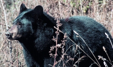
Oregon offers spring and fall bear hunting seasons. Fall bear is an entirely general season hunt, while spring season is...