

Statewide
Hunting access map
Public access to lands suitable to hunt can be a challenge. That's why we have the Oregon Hunting
Access Map to help find your next outing.
We are lucky in Oregon to have over 50 percent of the state as public land. Even with all this available land, finding legal entry points can be a challenge. To help find access for your next hunt, there is the Oregon Hunting Access Map:

With this map, you can:
- Search the search function to look-up properties by name, species or wildlife management unit
- Use the species tab at the top to find properties that have the species you are targeting
- View ownership, wildlife management units, and current and historic fire layers by turning on different map layers
- Find game bird ranges via map layers
- Scout with both satellite and map views
This map contains a number of properties and programs that allow access: state wildlife areas, national wildlife refugees, Access and Habitat properties, Travel Management Areas and Open Fields.
The Upland Cooperative Access Program is also a great program for Columbia Basin hunting opportunities.
Explore Related Articles
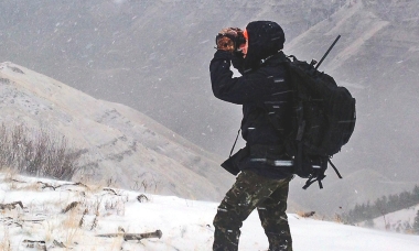
how to hunt
Looking for the perfect gift for the hunter on your holiday list? We’ve asked some ODFW staff, all avid hunters...
How to fish
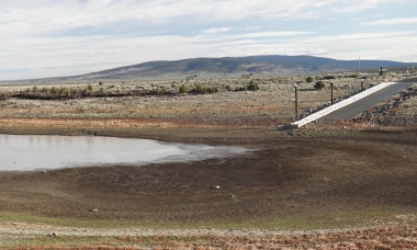
Impacts on fishing, hunting and viewing
As much of Oregon continues to experience years of on-going drought, hunters, anglers and wildlife viewers can expect the continued...
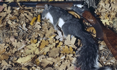
How to hunt big game
Popularly hunted species include gray squirrels, cottontail rabbits, ground squirrels and coyotes.
Small game species provide a variety of hunting experiences throughout the state and are an excellent way to introduce new...

Find the latest Recreation Report
Current conditions and opportunities to fish, hunt and view wildlife. Updated weekly by fish and wildlife biologists throughout the state.